Researchers
David White
About the research
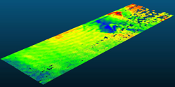
The final report for this project describes a short-term study undertaken to investigate the potential for using dense three-dimensional (3D) point clouds generated from light detection and ranging (LIDAR) and photogrammetry to assess roadway roughness. Spatially continuous roughness maps have potential for the identification of localized roughness features, which would be a significant improvement over traditional profiling methods.
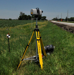
The report specifically illustrates the use of terrestrial laser scanning (TLS) and photogrammetry using a process known as structure from motion (SFM) to acquire point clouds and illustrates the use of these point clouds in evaluating road roughness.
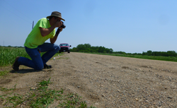
Five roadway sections were chosen for scanning and testing: three aggregate road sections, one portland cement concrete (PCC) section, and one asphalt concrete (AC) section.
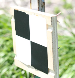
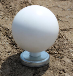
To compare clouds obtained from terrestrial laser scanning and photogrammetry, the coordinates of the clouds for the same section on the same date were matched using open source computer code.
The research indicates that the technologies described are very promising for evaluating road roughness. The major advantage of both technologies is the large amount of data collected, which allows the evaluation of the full surface.
Additional research is needed to further develop the use of dense 3D point clouds for roadway assessment.